
GNSS Land Leveling System AG808
GNSS Land Leveling System AG808 is a GPS/RTK land leveling solution with a smart display terminal, GNSS receiver, ECU controller and precise 24/7 field workflow.
View details
Towaytek
Land leveling and field preparation systems for efficient water management, grade control and agricultural productivity.
Product Center
Land leveling and field preparation systems for efficient water management, grade control and agricultural productivity. Use this page to identify who the products serve, the operational problem, the available solution path, the evidence published for each model and the next support step.
GNSS Land Leveling System AG808 is a GPS/RTK land leveling solution with a smart display terminal, GNSS receiver, ECU controller and precise 24/7 field workflow.
View details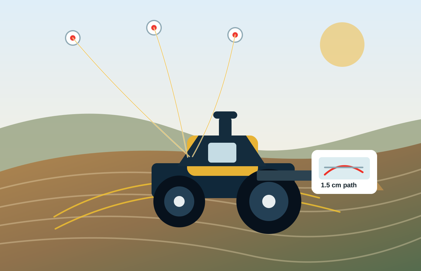
GNSS Autosteering System AG608 is an RTK/GNSS automatic steering solution for agricultural machinery with electric steering wheel, display terminal and ±1.5 cm guidance accuracy.
View details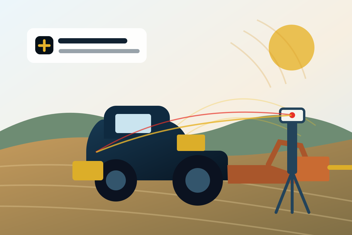
Laser Land Leveling System AG606 is a coming-soon agricultural laser land leveling system centered on the Titan MRL20 Rotary Laser Level / Laser Transmitter for extreme high-temperature field operation and 1000 m working radius workflows.
View detailsApplication Paths
Start with land forming, vehicle guidance or a planned laser workflow. Then verify correction coverage, machinery, installation and published evidence before quotation.
| Problem | Recommended path | Selection evidence | Action |
|---|---|---|---|
| Create a plane, single slope or dual slope with a digital surface | AG808 GNSS land leveling | Correction plan, implement interface, installation and calibration | Review AG808 |
| Guide a tractor or compatible agricultural machine along repeatable paths | AG608 GNSS autosteering | Machine list, guidance pattern and installation requirements | Review AG608 |
| Evaluate a transmitter-and-receiver laser leveling workflow | AG606 planned laser system | Launch status and confirmed model specifications | Review AG606 status |
Compare GNSS and laser land leveling before selecting a system →